Hike: Freel Peak
Where: Lake Tahoe Basin
Trailhead: Trout Creek, at the end of Oneidas St.
Level: Strenuous
Duration: 7 hours
Length: 7 miles?
Gear: Outdoor Research Cathode Vest, Outdoor Research Mainstay Beanie, Icebreaker BodyFit 200 Oasis Crew Long-Sleeve, NW Alpine Gear Black Spyder Hoody, REI Sahara pants, Arc’teryx Alpha SL Hybrid jacket, Boreas Topaz 25 pack, Black Diamond Ultra Distance trekking poles, and Salewa Alp Trainer Mid GTX boots
Cost of Parking: Free
On my quest to get OGUL recognition, I decided to tackle Freel Peak, the tallest peak in El Dorado County and in the Lake Tahoe Basin. I opted not to begin at Horse Meadow; I wasn’t sure that my car could handle the gnarly Forest Service roads. Instead, I began at Trout Creek, at the end of Oneidas St. and fully paved up to the trailhead.
From the trailhead, you can choose to head to Freel via Armstrong Pass, which is the signed trail before the locked gate, or make your way up the road past the locked gate. I headed up the private road, opting to come down Armstrong Pass on the way down from Freel. The private road twists through some private property (creepy campsite) before dwindling into a tiny use trail. The use trail follows the Trout Creek drainage system. Eventually, the use trail comes to an end at a sandy, sloggy mess. I headed up the sandy, soggy mess until I reached the Tahoe Rim Trail.
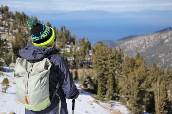
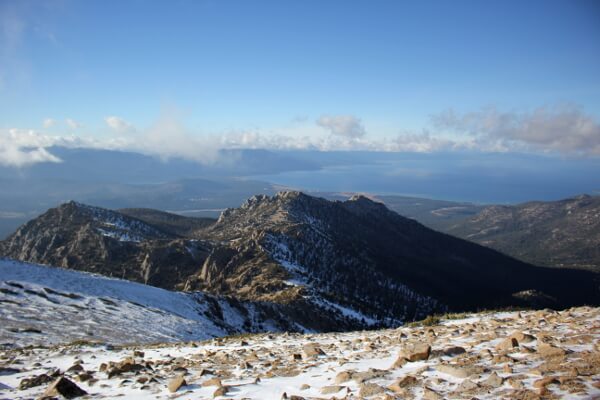
On the Tahoe Rim Trail, take a left to the saddle between Trimmer Peak and Freel Peak, where you get some pretty great views of Lake Tahoe. There will be a sign here indicating Freel Peak 1, which means Freel Peak is one mile ahead. There will also be a tiny Tahoe Rim Trail marker with a right arrow. This doesn’t mean Freel Peak is one mile to the right! Don’t make the same mistake I did and hike up and down in circles.
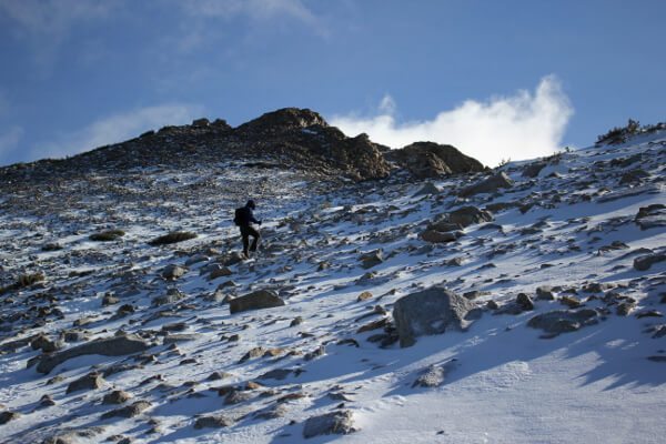
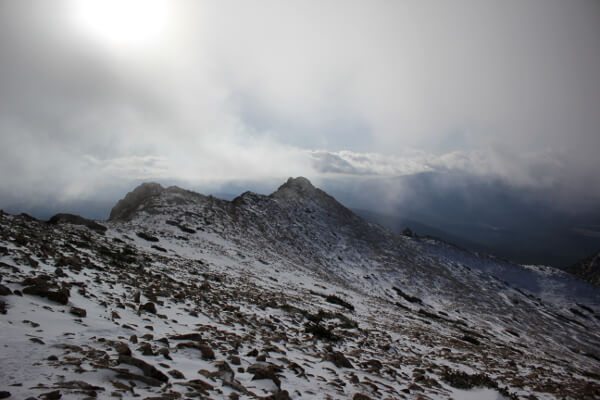
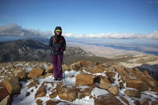
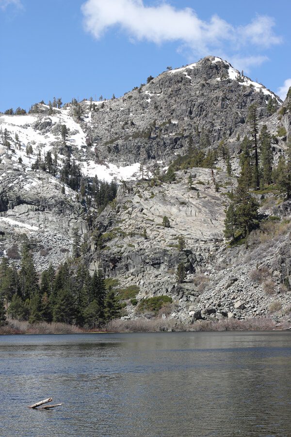
The Freel Peak Trail begins with several switchbacks before traversing across and up to the summit. The switchbacks had some snow on them, but not too much. After the switchbacks is when you hit several inches to half a foot’s worth of snow on the trail until the summit. Prepare for wintery conditions, but ice axe, crampons, snowshoes were not needed when I did this peak. If you’re the clumsy type, maybe a pair of microspikes as certain sections of the trail above 9500′ were fairly icy as the sun went down.
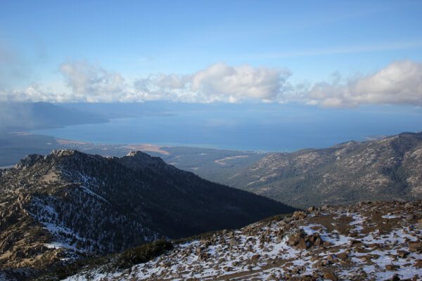
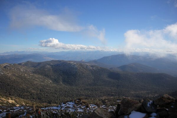
The views are unbelievable, with Nevada desert mountains, Pyramid Peak and all the Desolation Wilderness peaks, Round Top Peak and Mokelumne Wilderness, Jobs and Jobs Sister Peaks, and, of course, Lake Tahoe. The summit register is about ten feet west of the summit, on the way to the trail to Jobs Sister and Jobs. My trip took a little longer than expected due to backtracking down the Tahoe Rim Trail and slow progress with altitude and snow. But it was so worth it. I ended up taking the Trout Creek drainage back down to the car. Armstrong Pass will have to wait until next time!





Nice blog. I’ll have to try that route this winter :^)
Thank you! Definitely looks like a fun winter route with lots of room to practice mountaineering skills. I bet it’s super fun glissading over to the other peaks too!
Great shots! Thanks for sharing your trip, looking forward to trying this myself. I went around Freel last month while on a bike camping trip, but I’d enjoy taking the time to hike up to the peak.
No problem! It is so freakin’ gorgeous up there, even if it is a little windy. Definitely worth the day trip, along with Jobs & Jobs Sister if you can swing those too!