Yosemite National Park: Wapama Falls & Rancheria Falls

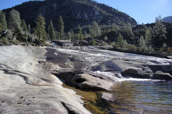
Hetch Hetchy Valley was once a mirror image of Yosemite Valley; now it’s a reservoir providing millions of San Francisco Bay Area residents like myself water. Despite this, Yosemite’s counterpart is still a wondrous sight to behold, and lacking in the millions of visitors Yosemite Valley receives.
Multi-day backpacking trips to Yosemite National Park’s northernmost wilderness give you access to glacial lakes, or you can opt for day hikes near the reservoir. Going into Thanksgiving, my original plan was to do a four day backpacking trip in this area, but unforeseen wrenches thrown into plans a little bit of weather thwarted those original plans. Instead of completely scrapping the idea of Hetch Hetchy, I ended up setting off on a solo hike to Rancheria Falls while the boyfriend was stuck working on Black Friday.
Lake Tahoe Basin: Freel Peak via Trout Creek

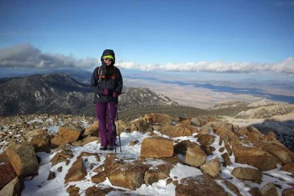
On my quest to get OGUL recognition, I decided to tackle Freel Peak, the tallest peak in El Dorado County and in the Lake Tahoe Basin. I opted not to begin at Horse Meadow; I wasn’t sure that my car could handle the gnarly Forest Service roads. Instead, I began at Trout Creek, at the end of Oneidas St. and fully paved up to the trailhead.
Inyo National Forest: Meysan Lake

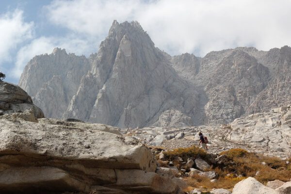
Fresh from sea level and running on about 6.5 hours of sleep, the beastly David Wherry and I set off with a friend on a Friday morning to acclimatize for our Whitney hike back in September. Our destination was Meysan Lake at approximately 11,500′. The trail begins at the Whitney Portal Family Campground by the summer homes, a short walk across Lone Pine Creek from our campsite. Starting elevation is 8360′, so if you’re not used to the altitude, expect to be huffing and puffing.

