Photos by Peter Amend
I will always take dirt trails over concrete sidewalks and the mountains over the city. There are just some times that you can’t escape that hustle and bustle.
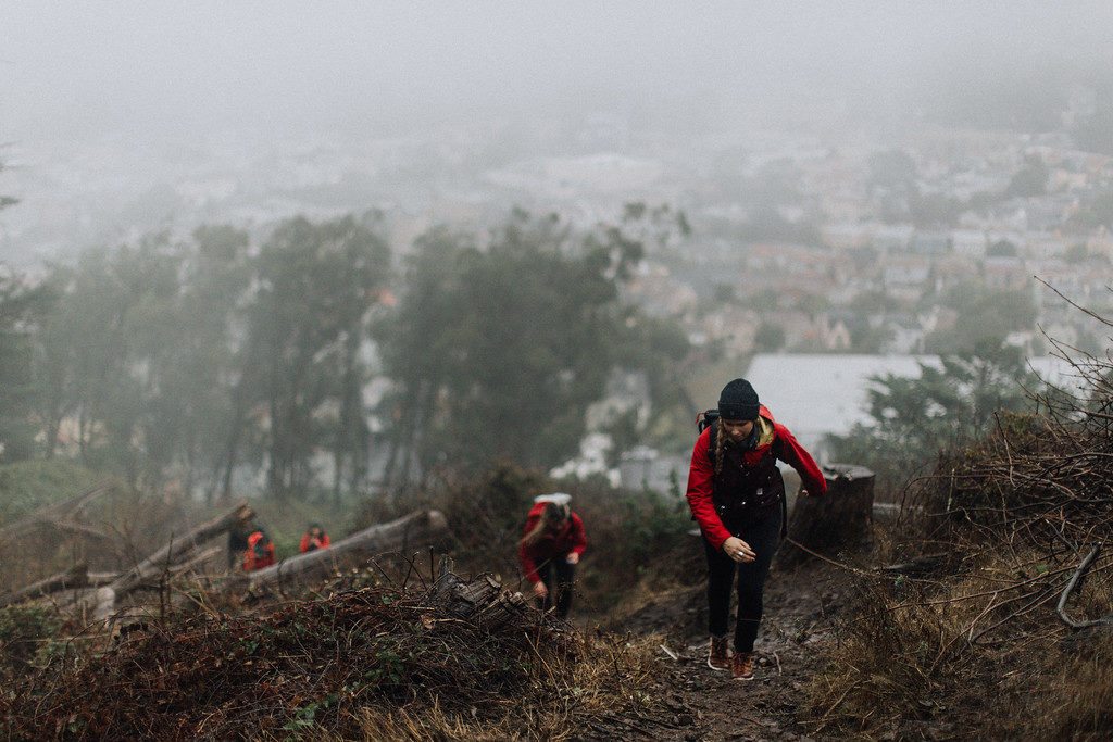
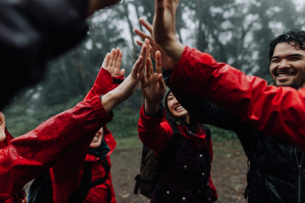
Hiking the original Seven Summits of San Francisco is an idea I’ve had in my pocket for a while. I mentioned the idea to my friend, Peter, and he rallied together a group to tackle hiking across San Francisco.
Estimated walking distance for hiking San Francisco? 18 miles.
The original summits of San Francisco are supposedly the only hills that had names when the city was founded. The starting point was Rincon Hill. From there, we’d hike up to Russian Hill, Telegraph Hill and Nob Hill before cutting across the city to Mount Sutro, Twin Peaks and Mount Davidson.
Rincon Hill
Our drizzly and wet day began by Rincon Hill in the SOMA district of San Francisco. We met at Blue Bottle Coffee, across the street from 21st Amendment Brewery.
After guzzling coffee to make up for the 7am meeting time, we set off on our journey. From Blue Bottle, we took a left onto 2nd Street, and a right onto Harrison.
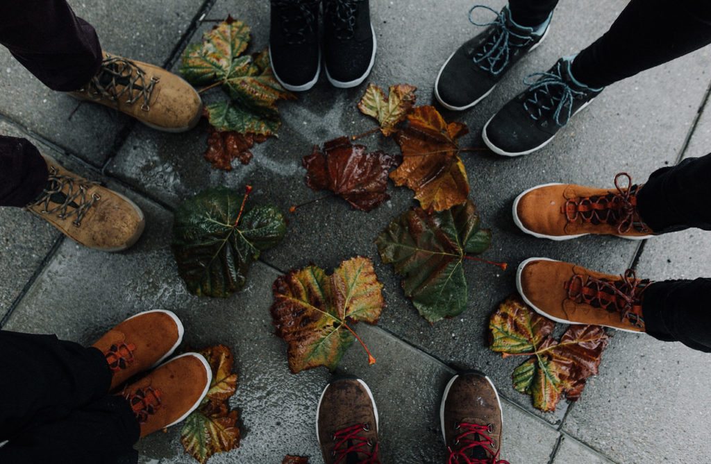
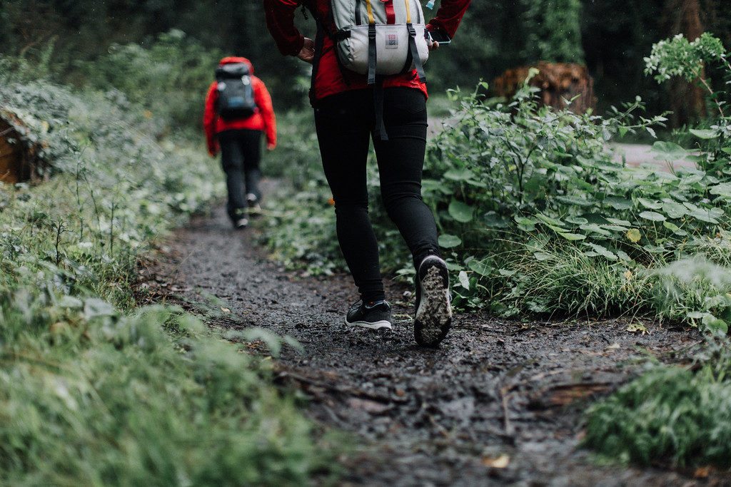
Rincon Hill was an uninspiring summit, but it was our first, so we took a celebratory shoe shot and then set off for our next San Francisco summit.
Coffee near Rincon Hill: Blue Bottle Coffee, Philz Coffee
Libations near Rincon Hill: 21st Amendment Brewery
Food near Rincon Hill: Joe and the Juice
Telegraph Hill
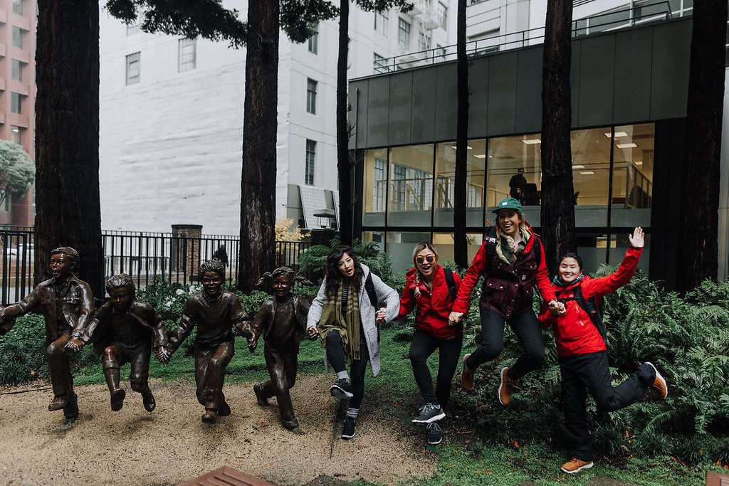
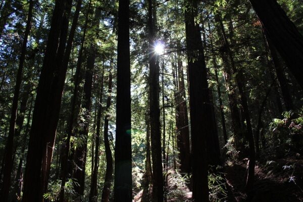
We cut through SOMA on Fremont St. and the Financial District on Montgomery St. with a pit stop at the Transamerica building and the adjacent Redwood Park. The Redwood Park is a wonderful, hidden gem in the city filled with—you guessed it—redwood trees.
We followed Montgomery St. north past notable restaurants like Roka Akor and Quince.
This street was no joke; it was steep. A left on Alta St. got us to the Google map marker for Telegraph Hill. We could see Coit Tower a few blocks away but we skipped that.
We retraced our steps down Montgomery St. to Union St. Then we turned west towards North Beach and our third San Francisco summit of the day: Russian Hill.
Coffee near Telegraph Hill: Hole in the Wall Coffee
Libations near Telegraph Hill: Barbarossa Lounge
Food near Telegraph Hill: Roka Akor, COI, Quince
Russian Hill
To get to Russian Hill, we meandered through North Beach, down Union St. We briefly paused at Hole in the Wall Coffee for—you guessed it—coffee, then continued north on Columbus Ave. A left on Greenwich St. had us heading up, up, up towards Russian Hill. When we reached Leavenworth St., we decided to make a right and turn north to check out Lombard Street, the Crookedest Street in the World.
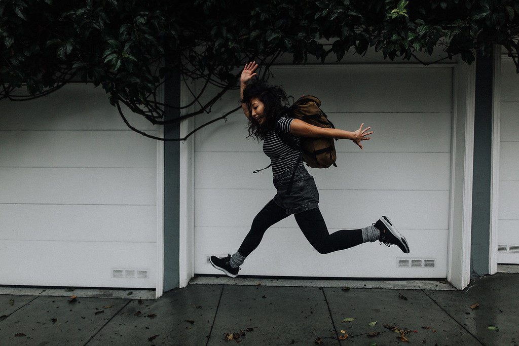
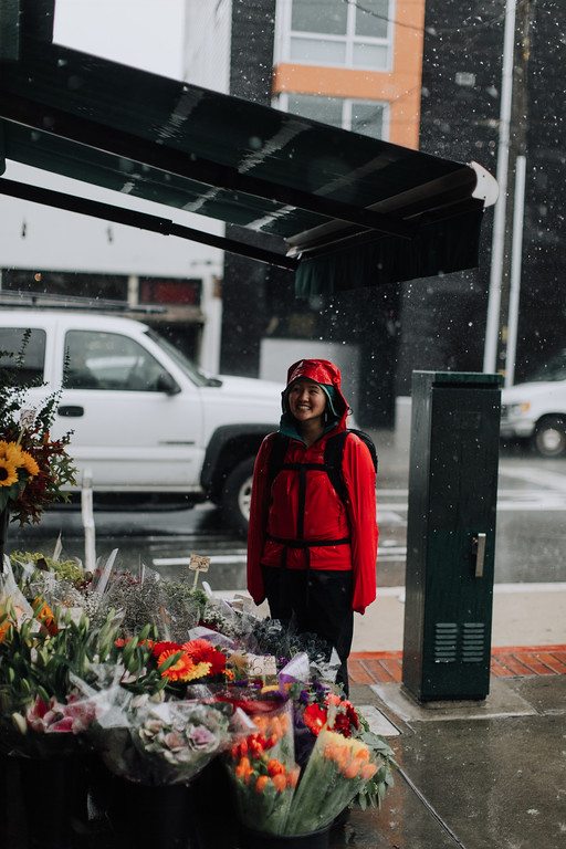
When it rains in San Francisco, folks seem to disappear. There were very few cars on the road so we ran up all the hair pin turns. The stairs would have been easier.
We took a celebratory photo at the top. A left on Hyde Street had us tagging the true summit of Russian Hill. Our tummies grumbled. Our bedraggled crew continued south on Hyde to grab breakfast at Nook.
Coffee near Russian Hill: Beacon Coffee & Pantry, Saint Frank Coffee
Food near Russian Hill: Mama’s, the Stinking Rose, xox truffles, Elephant Sushi
Nob Hill
Refueled by a real breakfast, we headed to Nob Hill with a little pep in our step. It was an easy, anti-climatic summit. Perfect preparation for some pastries.
After Nob Hill, it was time for us to head across San Francisco. The most direct route was down Market Street, through the Tenderloin. We stopped by Mr. Holmes’ Bakehouse for pastry fuel. They had a cruffin with Thai tea filling, which was my pick. I could have eaten almost everything on display though.
Coffee near Nob Hill: Contraband Coffee Bar
Libations near Nob Hill: Zeki’s Bar
Food near Nob Hill: Nook, Mr. Holmes’ Bakehouse, Saigon Sandwich
Across San Francisco!
As we made our way across the city via Market Street, Verve Coffee’s first San Francisco location loomed into view. We couldn’t resist stopping for a caffeine refuel and to briefly hide from the rain.
We hiked Market Street until it split in the Castro at 17th St. From 17th, we hiked up and up and up until it dead-ended at Stanyan. At Stanyan, we made a left turn, then a right onto Belgrave.
Mount Sutro
Belgrave dead ends at the base of Mount Sutro Open Space Preserve. We followed the trail upwards. At points, it split into a few social trails but they all seemed to end at the same spot. If it feels like you’re trespassing in someone’s yard, don’t worry. You’re not. Mount Sutro Open Space Preserve is bordered by UCSF’s Aldea San Miguel housing.
The trail opens up onto Johnstone Drive. We took a right to the well signed East Ridge trail on the right side of the road. The East Ridge Trail was closed at the intersection of Mystery Ridge due to falling tree danger. We took Mystery Ridge to the Mount Sutro summit.
At the summit, we headed back down on the North Ridge Trail and followed it to Medical Center Way. Fairy Gates Trail was also closed. We followed Medical Center Way back to Johnstone Drive. Johnstone Drive continues until it ends at Clarendon Ave.
We crossed Clarendon Ave and turned right up the hill on a faint use trail that connected to Mountain Spring Ave. Watch your step; this trail is thorny.
Next up? Twin Peaks!
Twin Peaks
A sharp right onto Glenbrook Ave took us to to Palo Alto Ave and the base of Sutro Tower. We walked along Palo Alto Ave for a hot second to Marview Ave. At Marview Ave, we crossed the street to a well-used trail that skirts around Twin Peaks Reservoir. It’s huge. You can’t miss it.
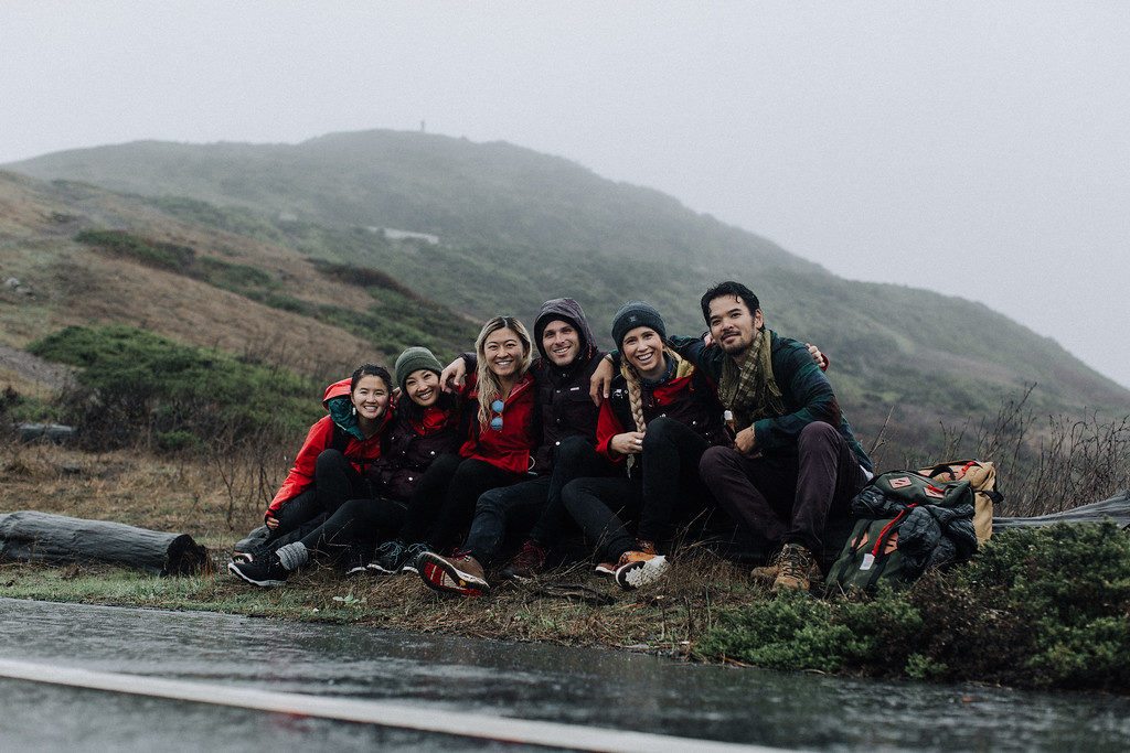
The trail leads to Twin Peaks Blvd, and the second to last summit. We took some time to take photos and eat snacks. One member of our group tried to plan a mutiny. It failed. With that, we were off to Mount Davidson, the last summit of our day.
We walked along Twin Peaks Blvd where it was closed to cars. The road gently wound down the hill. We kept our eyes peeled for trails off the side of the road and found one that took us down the hillside. The trail connected again with Twin Peaks Blvd. At this point, the road was open to cars.
We scurried across Twin Peaks Blvd to another trail that cut off a few hundred feet of road walking. Again, the trail intersected with Twin Peaks Blvd. Here, there was a use trail that followed the left side of Twin Peaks Blvd to Portola Drive.
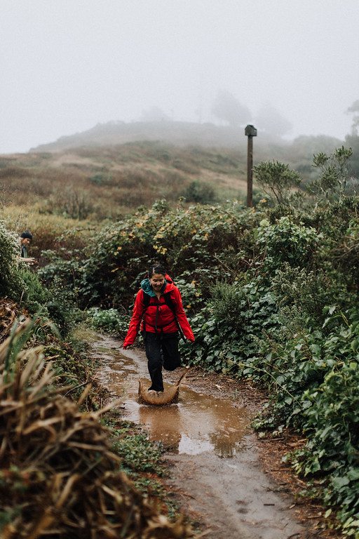
The last San Francisco summit was near! Not that we could see anything in the gloomy fog.
Mount Davidson
From Portola Drive, we turned left onto Evelyn Way into a residential neighborhood. On Evelyn Way, we took Chaves Ave, and then slight right onto Rockdale Drive. At Rockdale Drive, an unassuming cobble path appeared.
This path took us into the Mount Davidson hiking area. Our boots hit the dirt and we followed the trails up and up to the top. We first stopped out the Mount Davidson Vista Point where we saw nothing but fog. The last official stop of the day was the Mount Davidson Cross.
The End
The whole route was intended to be a loop. Inclement weather had the group unanimously voting for drinks after Mount Davidson, the last summit. We hiked downhill to the closest road to catch a Lyft back to SOMA to dry off and escape the rain.
At the end of the day, total mileage was around 14 miles across the city. Elevation gain was close to 2,500 feet. Total walking time was approximately 5 hours and 43 minutes. It rained pretty much the whole day.
Gear for hiking San Francisco
Teva Arrowood Lux Waterproof Shoes, Arc’teryx Beta SL Hybrid Jacket, Arc’teryx Atom LT Jacket, Icebreaker Tech Lite Short Sleeve Scoop, Sierra Designs Elwah Pants, Black Diamond Creek Transit 22 Backpack
Want to spend a day exploring and hiking San Francisco? Our route is mapped out below. Are there any spots that I missed? Let me know!
For more resources on things to do in San Francisco, stop by San Francisco Travel.
Photos by Peter Amend. Shout out to Becky, Anthony, Kristine and Kimberly for coming along!







Fantastic photos! Looks like a fun urban adventure.
Looks like a great way to see the city. Now I want to go eat at all the places. Cruffins sound delish.
You know you are always welcome here!!
This was a lot of fun to read and the rain added a fantastic element to the photography! Awesome post!
Thank you! Props to my friend Peter for the photos. He’s a pro!
This is perfect! Well described and directions clear enough for a visitor to follow. I’ll be adding on an extra day to my next biz trip just for this. Thank you!
Hi Karen, thanks so much for stopping by! Let me know how it goes :) Let me know if you need other suggestions too!
Thanks for posting this! My husband and I are going to be visiting San Francisco at the end of April adn I was googling possible hikes for us. I think we might end up following your route. Not sure if we might break it up into 2 days though to give us more time to explore the areas. What would you suggest?
Hi Wen,
Thanks so much for stopping by! I hope you do follow this route. It’s an awesome way to see the city. There’s not too much touristy stuff along the way, aside from Lombard Street and the TransAmerica building. I would suggest doing the hike in one day and then heading over to the Mission for post-hike food. Then the next day you can always go back and wander around areas that you really loved, or do something else entirely.
Also do let me know if you want recommendations for hikes outside of the city!